I do not know if this is still a hidden gem, but when I visited in December 2021, it seemed like an oasis amidst the overcrowded, touristy towns. Having come from Rovaniemi, the place gave an utterly opposite vibe. While there were black and red or blue winter suit-clad, penguin-looking tourists everywhere in Rovaniemi, there were hardly any people there. Saariselkä, about 15 km north of Kiilopää, is where you would find most winter tourists visiting this region. So, if you ask me, ‘How did I end up here?’ it was thanks to a nice hostel that was part of the Hostelling International network and one of the few in Lapland accessible by public transportation. Additionally, it provided affordable accommodation for one person, even during the peak tourist season. Read on to know more about this hidden gem of Finland.
Why visit Kiilopää?
Before we move ahead, I should clarify this: I will probably not be able to categorise Kiilopää as a village or town. It is rather a fell in Finnish Lapland. At its base is a hiking centre operated by Suomen Latu, the Finnish Outdoor Association, where I spent a few days of winter. Kiilopää is one of the gateways to the wilderness of Urho Kekkonen National Park. So if you are seeking wilderness adventures, irrespective of the time of the year, this might be the place to visit. The rolling hills here are a distinct geography that you can experience in Finland.
How to reach Kiilopää?
Kiilopää is located close to the European route E75, which runs vertically through Finland. At the time of writing this blog, at least three buses on their way further north to Ivalo and Karasjok from Rovaniemi take a detour from the highway to visit Kiilopää. It takes about 3.5 hours to cover the 250 km distance from Rovaniemi. The updated schedules for the buses can be found on Matkahuolto.fi and Perille.fi. The nearest airport is located at Ivalo (45 km), which happens to be the northernmost airport in Finland. It is serviced by year-round FinnAir flights from Helsinki and seasonal (read winter) flights from other European cities.
Where to stay and eat in Kiilopää?
The Suomen Latu Fell Centre offers both hotel and hostel accommodations. As mentioned, their Hostel Ahopää is part of the Hostelling International network and has shared dorms for up to eight people in each. For food, you can cook at the shared kitchen in the hostel or enjoy local delicacies at the Fell Centre restaurant. I still remember having one of my best traditional Finnish Christmas dinners in this restaurant. The Fell Centre also has a small store from which you can purchase snacks and canned food; however, the nearest full-stocked grocery store is located in Saariselkä.
Apart from the Suomen Latu Fell Centre, several other resorts and cabins can be found in the area, including the Kakslauttanen Arctic Resort. It is one of those places you might have seen on Instagram reels, with rows of glass igloos. These resorts usually have a restaurant that you can drop by for food. While exploring the area on a bike, I came across the Laanilan Savottakahvila, which seemed like a nice pitstop to warm up in the cold weather. Another cafe that I discovered while writing this blog is at Luulampi, a junction for several hiking and biking routes in the area. Located inside the Urho Kekkonen National Park, the cafe can only be accessed on foot or by cycle and is open only outside the winter season.
What to do in Kiilopää?
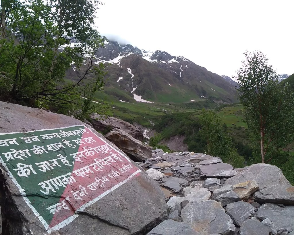
Hike – Bike – Ski – Sauna!!! I suppose that sums up the things that you can do here in Kiilopää. According to the Luontoon.fi website, Finland’s centralised information source on outdoor activities, the Saariselkä, Kiilopää and Kakslauttanen area has approximately 200 kilometres of hiking trails, of which approximately 80 kilometres are located in the Urho Kekkonen National Park. Although these trails are primarily accessible in summer, at least some of them double up as ski and snowshoeing trails in winter. The hike to the summit of the Kiilopää fell would be one of my recommendations if you are visiting Kiilopää. On a clear day, the summit offers great views of the rolling hills that form a vast expanse of the national park. The hike is part of the 5.7 km Kiirunapolku Circle Trail and is usually considered an easy hike. In winter, however, a snowshoe might be essential as the latter part of the trail is not as frequented as the climb to the top following an anti-clockwise direction. Besides hiking trails, the area also has several marked cycling routes, including those that are also maintained in winter. You can ride a fat-bike all the way to Saariselkä and back through the snow-covered forest. The Kiilopää Adventures rental shop, located on the premises of the fell centre, rents out the necessary equipment/gears for hiking, biking and skiing. They also offer guided tours and are the point person for ground-level guidance for planning your own adventures. During my visit, they helped me chart out my snowshoeing and biking routes, and to date, it was one of my best winter experiences. However, there was one thing that I missed experiencing and would not recommend others make the same mistake. The Kiilopää Smoke Sauna is mentioned to be ‘one of the five must-experience saunas in Finland’. After you have soaked in all the adventures for a day, you can rejuvenate yourself by relaxing in the sauna, followed by a dip in the river Kiilopuro. The autumn and winter pictures I have seen of the sauna and the pool are one of the reasons that would take me back to this place, even if for a day.

A random view while fat-biking in the winter wonderland. 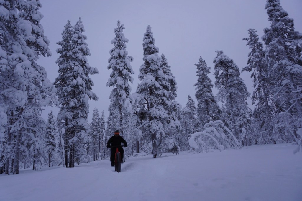
Fatbiking through the snow covered forests. 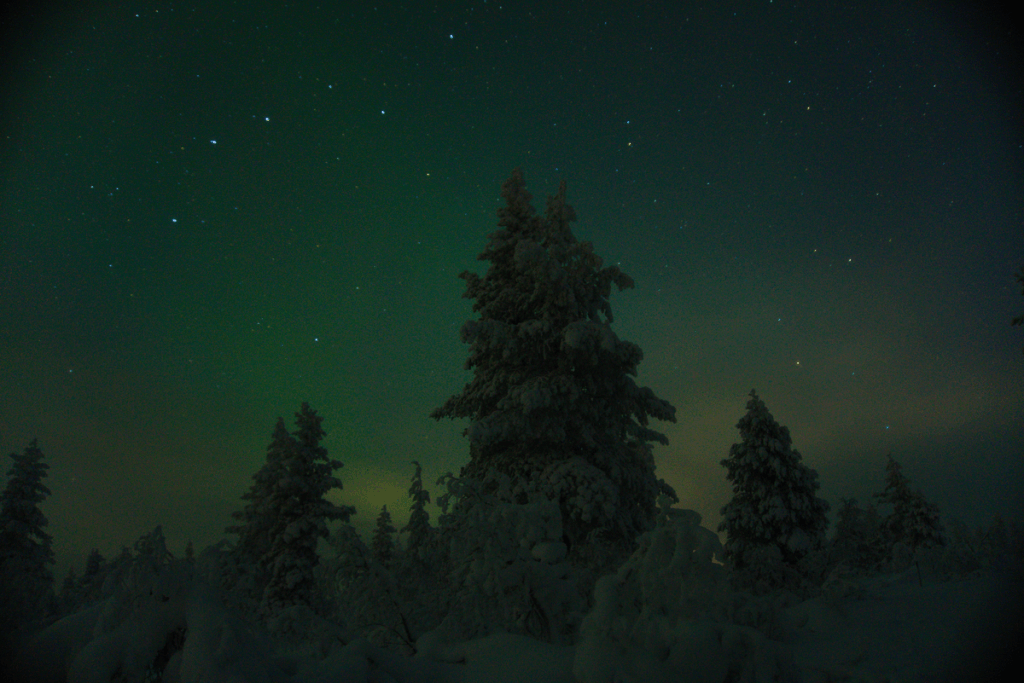
Chasing the auroras. 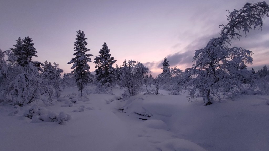
Back into the forest. 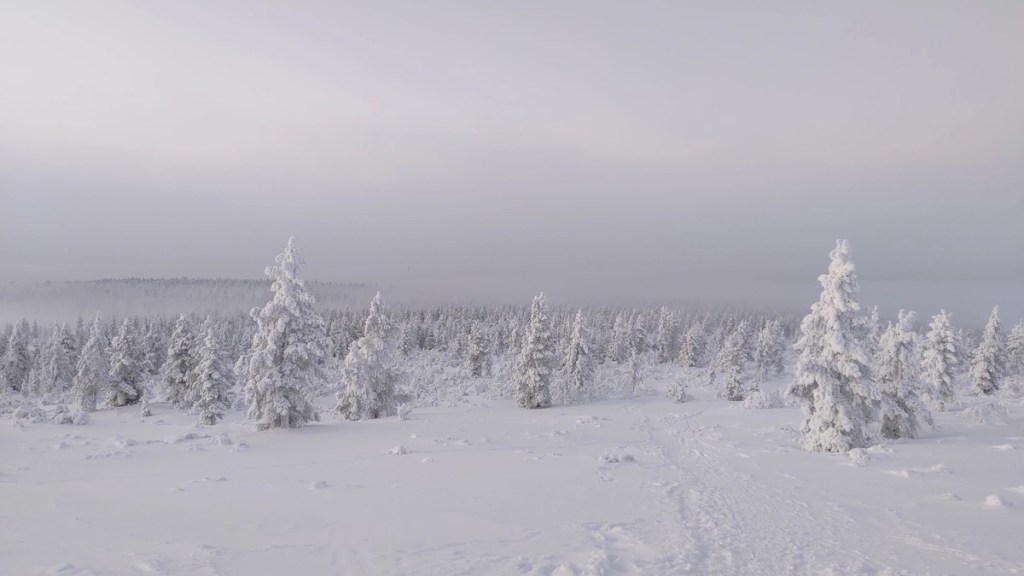
Moving past the tree line on the way upto or down from the Kiilopää fell. 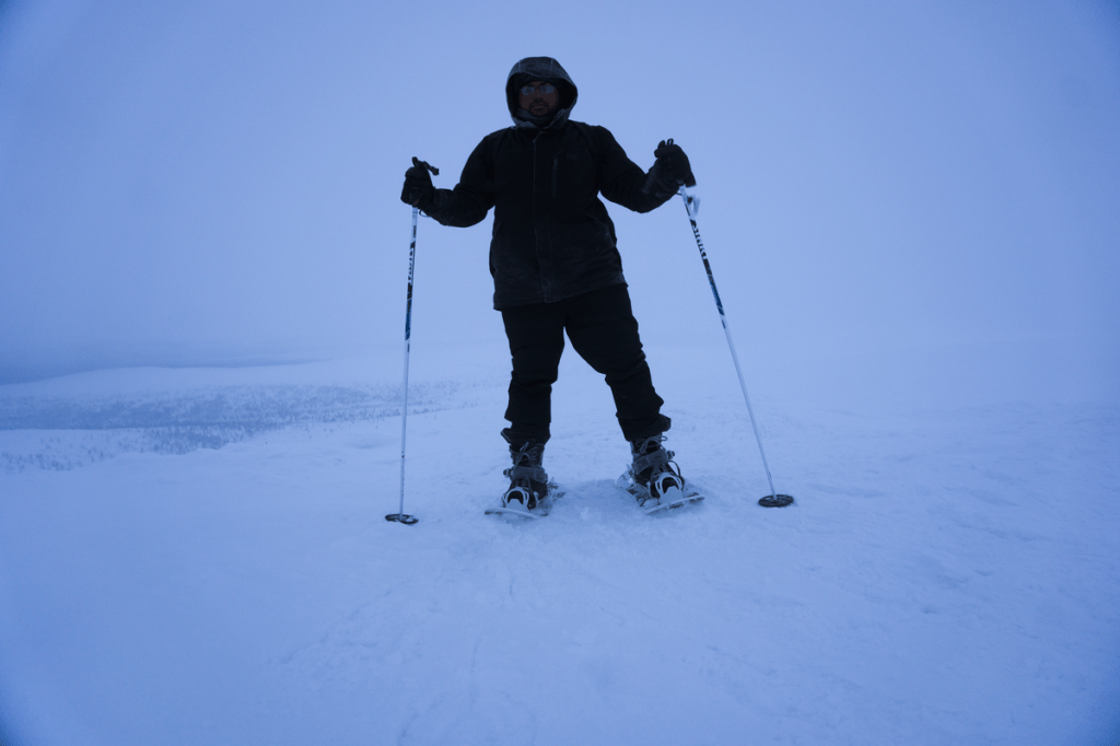
Snowshoeing along the Kiirunapolku Circle Trail. The wind speed rose and the visibility dropped low just as I reached the top of the Kiilopää fell. 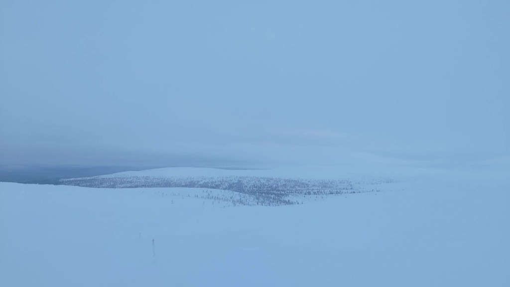
View along the Kiirunapolku Circle Trail. 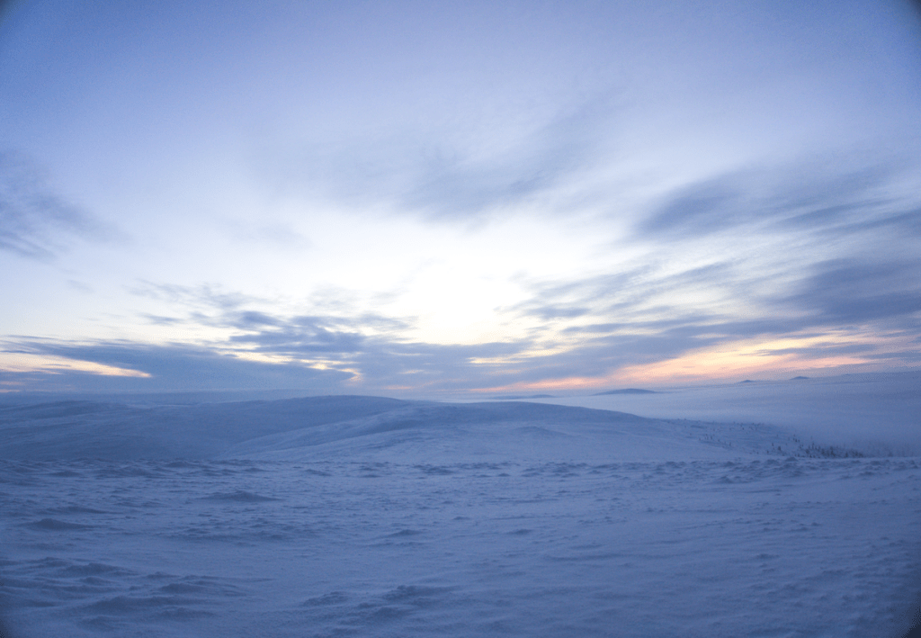
View from the top of the Kiilopää fell. I made a second attempt on my last day there and was rewarded with a better view. 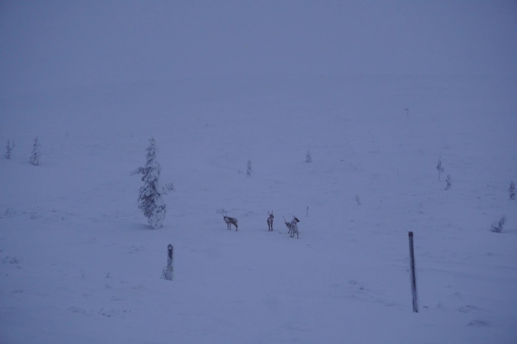
Luckily spotted some reindeer roaming in the wild. 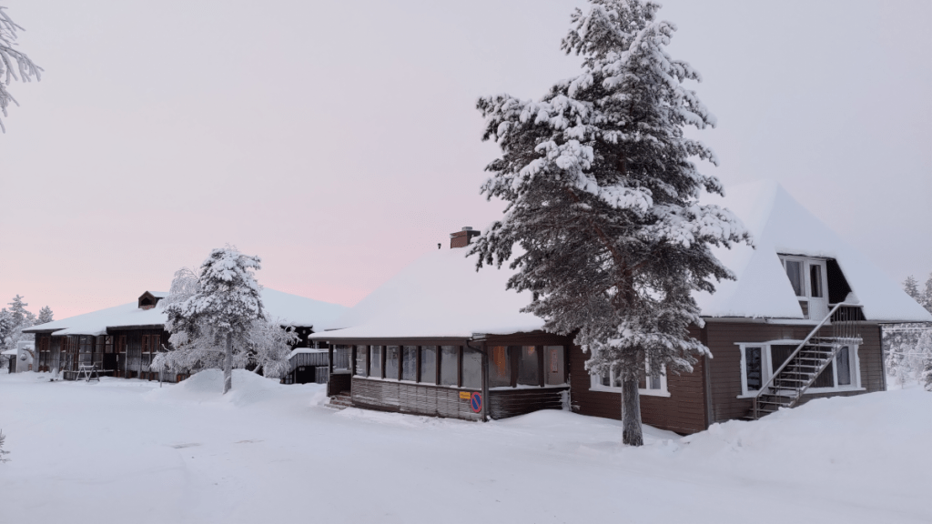
The Hostel Ahopää (Kiilopää) building
For more pictures from this trip and my other trips in Finland, please visit my Instagram and 500px.com pages.